
07/20/2020
Good Monday morning,
I hope everyone had a great weekend.
Starting the week we will be affected by an approaching low pressure system out of the northwest.
https://www.star.nesdis.noaa.gov/GOES/conus_band.php?sat=G17&band=09&length=12
Today will be a carbon copy of Sunday, but the burn off of the fog will be around any hour later than yesterday.
Expect to see sun in the valleys between 9am and 10am, coastal we will see sun 11 to noon.
Tonight we will have some sundowner winds, mainly Goleta to Gaviota. This should warm the skies a few degrees.
Tuesday the fog thickens and clearing will be later in the day. By Wednesday we will be fogged in with even some pockets of drizzle.
Thursday, the low moves East and it looks to be replaced with another low.
It looks like we will see fog and low clouds all week With clearing in the afternoons . highs in the 70s coastal and 80s in the valleys all week. Just perfect weather from my perspective.
The weekend looks to be more of the same, with temps remaining around normal for this time of the year.
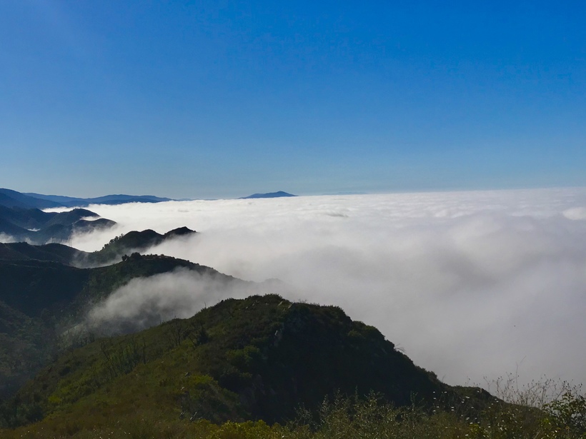
Here is a great photo by Mark yesterday on his morning Hike.
Have a great week.
Jack Martin
 Loading...
Testimontials
Read Margaret H.'s review of Action Roofing on Yelp