11/26/19
Holy Moly,
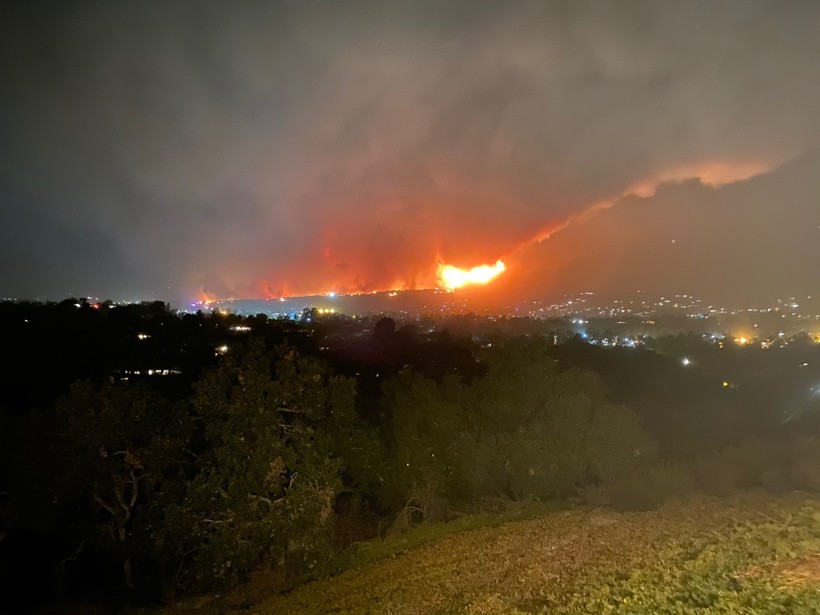
What a night it was watching the fire grow. From My vantage point I could see it all with my eyes. Winds last night reached 82 miles an hour in the Montecito foothills. The fire started up high, then boom it was down to San Antonio creek area. I watched all the fire trucks rolling up the pass. The good news is it seems to be 1/10 of what it was when I went to bed. Here is now and last night's photos from my stage, or back yard.
 The fire still stretches around 6 miles, but is much calmer this morning.
Last night at its worst:
 Now, for the Rain event.
Rain will move in over night. This one has stayed on track and nothing has changed.
Rain will start tonight around midnight in SLO, then move South to Santa Barbara around 4 am. Then LA right around rush hour.
Rain fall is still 1 to 2 inches coastal through Thursday.
2 to 3 inches in the foothills and mountains.
Snow level will not drop to 2500 or 3000 feet until Thursday morning. This means the grapevine will be safe till then. 3 to 6 inches of snow will likely fall on the grapevine on Thanksgiving day.
Looks like we start to clear up Friday and Saturday during the day.
Then, another Pacific storm moves in Saturday night through possible Tuesday.
This one is tough to call, because it is coming off the pacific. We really can’t tell what it will do until 1 to 2 days before arrival.
The models have no agreement at this point, but there is a potential for this to be a good rain maker with a prolonged period of rain and high accumulations.
We will need to watch this closely as we get into Friday. In the meantime, get ready for cold and rain.
The only good part to the rain is it will be a big fire hose.
Never dull in southern California.
 Loading...
Testimontials
Thanks for the expertise, good job, right price, great attitude, and timing!David Eldred

