
11/25/19
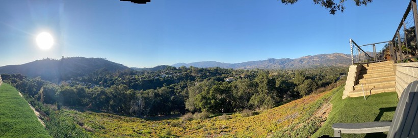
It was a great Sunday, with fantastic weather in November. My back yard at 3:30 pm.
Good Monday morning,
Here we go. The short term models are out. So let’s take a look at the week.
Today starts out nice, but as a front passes the winds will start to blow. First in the mountains, starting around noon. Gust can be 60 miles an hour from the north.
It will be quite windy on the Grapevine. Wind will drop over all of us later in the afternoon and evening. Expect 30 mile an hour winds.
Tuesday will start out nice, but as the cold low drops from the north, we will start to feel the changes, with more chilling the air.
You can see it here:
https://www.ssd.noaa.gov/goes/west/nepac/h5-loop-wv.html
Tuesday night, rain starts in SLO around midnight and moves south. We should see rain 3 to 4 am. Rain will continue through late morning, then turn to showers.
Models have struggled run to run on how much moisture support will occur from the south.
For now, we will leave it with the guidance of 1/2 to 1 inch through late morning Wednesday. Mountains and foothills 1 to 2 inches.
Tuesday afternoon through Thursday, or Thanksgiving we will see on and off showers.
A good impulse is looking to roll through Thursday morning. With the showery pattern, rain fall amounts will vary, from 1/2 to 1 1/2 inches of additional rain.
Looks like we will clear up Friday and Saturday. Then another system pushes in for Sunday to Sunday night.
No info on this one other than rain into the area and south to LA.
Now you are ready, let’s see what happens from here. Remember it will be cold with snow 6 to 12 inches in local mountains.
If we get lucky, we might be able to see it from your yards. If you live in Santa Ynez valley you will see the mountains covered with the white stuff.
Updates Tuesday morning bright and early!!!!
 Loading...
Testimontials
Thank you for the good work. Let’s pray for rain so we can see that it works!Adrianne Davis