
Changes in the Air
Good Sunday morning,
Hope everyone had a great Saturday. It certainly was a hot one.
This morning I work up to a little fog. This is a welcomed change. We are shifting from high pressure to onshore flow.
You can see southwest flow this morning and low pressure pushing down out of the Pacific Northwest.
https://www.ssd.noaa.gov/goes/west/nepac/h5-loop-wv.html
Looks like we will have another sundowner wind event on Monday night. If you were awake Friday night the sundowner winds warmed Goleta to 91 degrees at 11pm.
This is thanks to winds coming down the hills and compressing, allowing the air to heat up. Of course I was sound asleep, but Mike was there to report this.
Cooling will occur next week, with marine layer and onshore flow. Looks like Thursday we are even looking at a few showers, more likely some morning drizzle.
We will see how that develops as the week goes on.
Next weekend looks to be warming up again with high pressure building in.
Have a great Sunday, coastal a few degrees of cooling with some high clouds from the southwest.
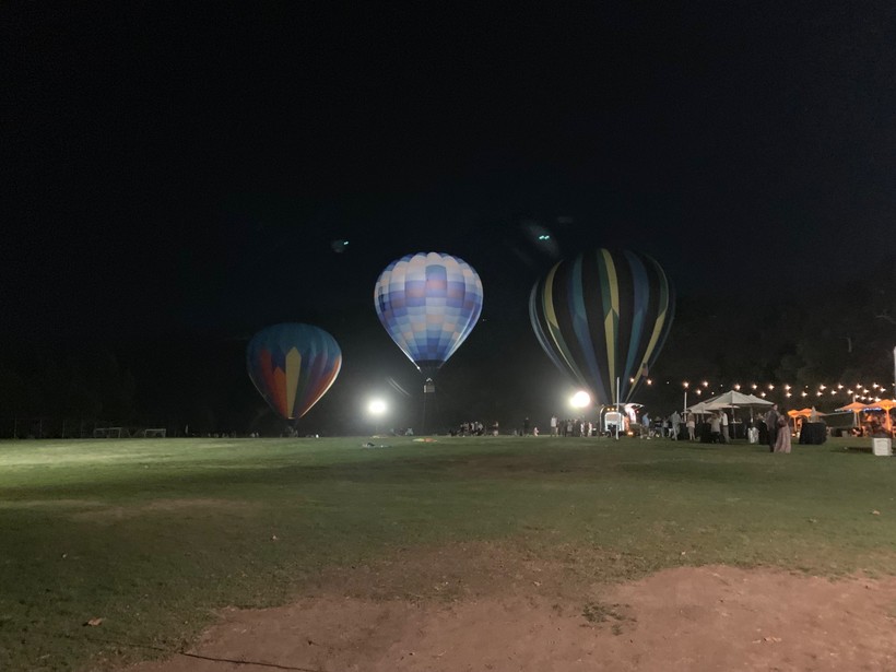
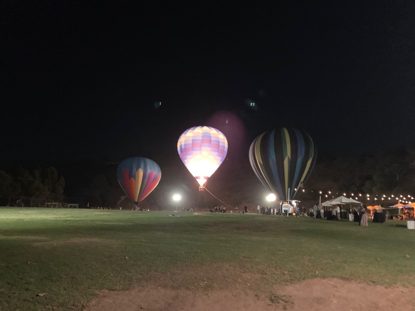
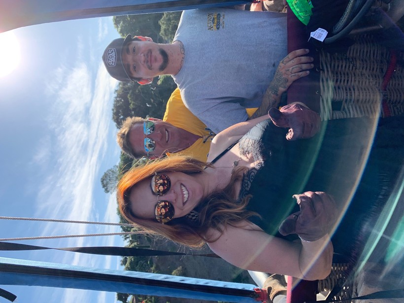
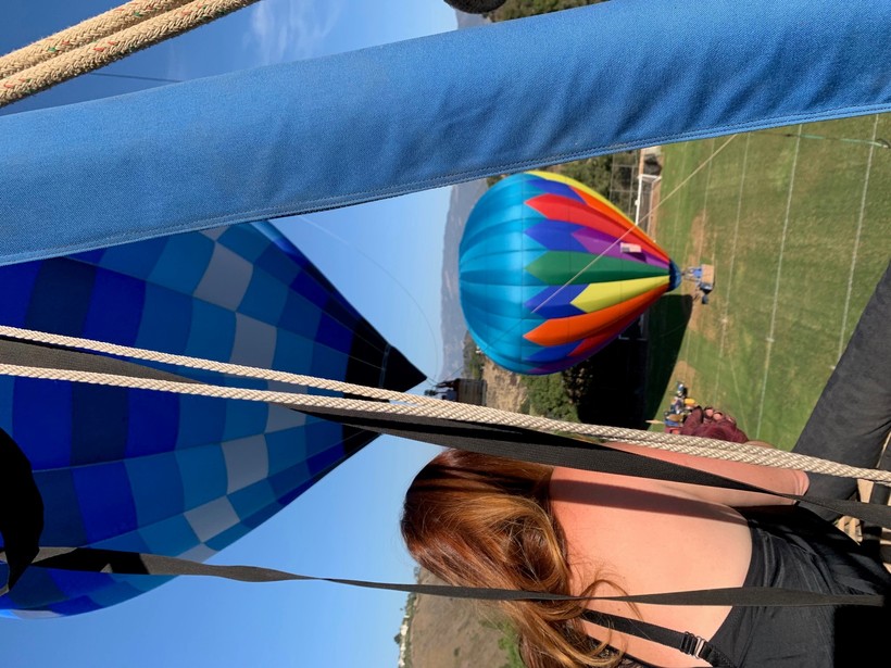
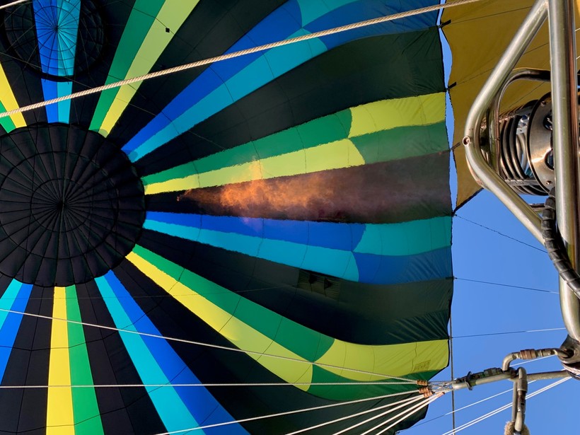
Here are a few photos from Elings yesterday, me and A few of the boys took a ride. I had to stop by on my way home and take a picture of the glowing hot air.

 Loading...
Testimontials
Thank you for a job well done and for being such nice people that I knew I could trust. I am also very grateful for the senior discount. Thank you so much.Muriel Taggart