
5/28/19
Tuesday morning,
It is starting out quite chilly out there. Cold air with clear skies is making our morning chilly.
If you look at the satellite you can see a low pressure system to the east spinning around.
This will do nothing more than give us some pretty puffy clouds over our mountains this afternoon.
The sun heating the air will allow clouds to build. Slight chance of thunder storms, mainly to the East of us.
https://www.ssd.noaa.gov/goes/west/weus/h5-loop-wv.html
Cold air sticks around Wednesday, but some warming each day. Marine layer likely returns in the mornings and burns off by mid day.
Thursday, another weak low arrives. This will do nothing more than create a marine layer.
Friday and through the weekend all looks to be the same. June gloom arrives along the coast, but Santa Ynez should be clear and nice through Sunday.
As the month comes to an end, I think the rain will finally do the same.
It has been an incredible season for rainfall and snow. Some reports are planning on staying open until August.
Ok it’s back to work and I hope everyone had a great holiday.
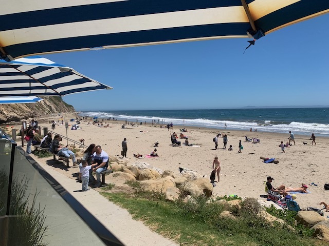
I was at the Boathouse with lots of others, enjoying a great Monday lunch.
Have a great short week.
The weekend will come fast. Especially for flex schedules. Friday is an off day for City of SB and Action Roofing.
 Loading...
Testimontials
Thanks for the ‘perfect timing’ roof replacement. We appreciate your help.Judy & Larry Hanson