
Rainy Saturday 3/2/19
Once again, the heavier rain came over night. Of course it is like an alarm clock for me.
At least I went to bed at 8 pm.
Looking back on this rainy season, and past. Typically we will get good rain for a week, then a break for a week.
This year however, there has been no real breaks for a week.
This trend will continue next week, as we have 2 more systems lined up for Tuesday night though Wednesday, now another on Friday.
Everyone is now over 100% of rain fall for the year. Some are as much as 141% so far.
We know of 2 more systems to come after today’s rain. Then we have the month of March.
At this pace there is no reason we will not fill all lakes.
Now for today and the first of 3 storms on tap.
Rain started up right around midnight and fell at a pretty good pace. As of 4:00 am we have seen over a inch of rain so far. Rain is coming down steady and heavy at times currently. We will see rain though the morning, turning to showers afternoon.
Some showers stay in the forecast through Sunday morning. However, it will be mostly dry on Sunday. More sun then rain.
Sunday night through Tuesday mid day, we should remain dry.
Tuesday evening and into Wednesday, the next system arrives. This one is looking to be the strongest of the group.
Models are coming together with this system. It will tap into subtropical moisture and bring heavy rain and some flooding to the area.
It will have good north to south flow creating good south winds to enhance the rain fall over Santa Barbara and Montecito.
The national weather service Oxnard is not talking about totals at this point, but in excess of 2 inches is likely.
Thursday we get a 1 day break, then more rain is on tap for Friday.
At this point we are not even thinking about how much we will see there.
We will focus on today and Tuesday night and Wednesday.
Today I think we will hit all bench marks with around 1.5 to 2.5 inches in the mountains. City of SB has all ready seen 1.25.
Next Tuesday night and Wednesday, get ready for a good one.
Forecast will be ramped up Sunday and Monday morning for that one.
In the mean time, enjoy more and more rain..
***UPDATE***
For you early risers wanting to learn about the atmospheric river.
Here you go!
Thanks Mark
‘Rivers in the sky’ are why California is flooding
National Geographic
Atmospheric rivers move huge amounts of water through the air above us—and dump rain and snow on land. Read the full story
***UPDATE***
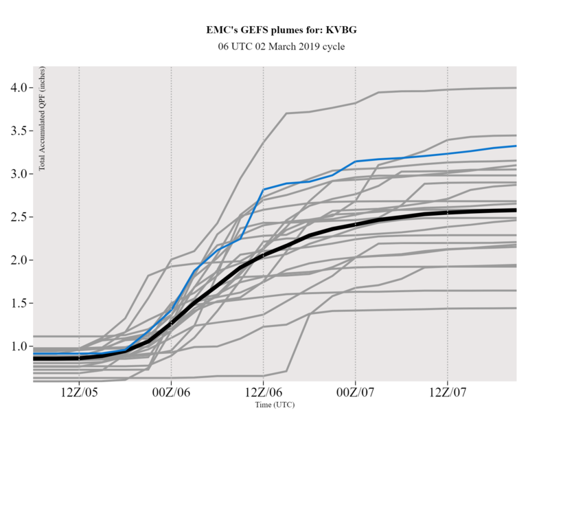
Ok my weather junkies.
This is from the Man. Mike Wofford, he is my friend and lead forecaster at the National weather service Oxnard.
He is way smarter than me. He agrees that the next storm is going to be wetter, heavier and last longer.
Here is some of his graphics.
He also has the site: http://www.805weather.com/
Thanks mike, do you wake up when it rains hard like me!!!
Enjoy!
Jack martin
.png)
 Loading...
Testimontials
Thanks for the nice job you did on my house. My tenant appreciated how considerate and efficient your team was and commented on the excellent job they did. My husband and I went up to inspect the job yesterday, and we were very pleased.Ann Schied